 tudio
tudioThe online editor for GTFS feeds.
GTFS Studio is on development, to learn about the latest updates visit the change log.
For visualization only checkout GTFS Vision.
Import KML files for shapes and stops, to add new objects or replace outdated ones.
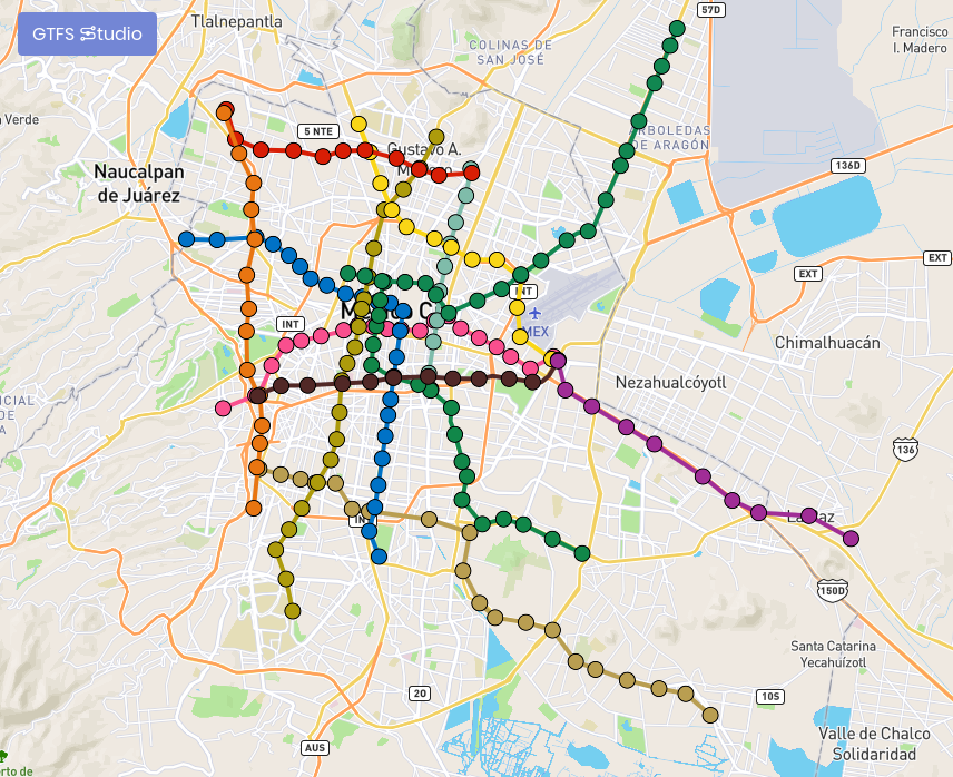
Manage shapes and stops visually, add, move or delete objects in the map
Visualize your feed on top of Google Maps, Mapbox, OpenStreetMaps, ArcGis, HERE, ...
Easily add any missing information, optional fields and edit your current data in tables
We help you validate duplicates, orphans, invalid columns, required fields, restricted values...
Work on multiple gtfs feeds shared to all the users in your group
As simple as copy + paste, you can add your data from other sources with ease
We keep our interface up to date to support the latests GTFS specification
Made with ❤️ by: Diego Algara